





What is Geodetic Marking of a Parcel?
Geodetic marking of a parcel is a professional process of determining and marking the boundaries of a plot of land and precisely positioning a future object on a construction parcel. This process is carried out by an authorized geodetic engineer using modern geodetic equipment and data from cadastral documentation.
Proper geodetic marking is one of the most important steps before starting construction work, as it ensures that the object is built in the exact location planned in the project and in accordance with the regulations.
Why is Geodetic Marking Important?
Mistakes in positioning an object can lead to serious legal, technical, and financial problems. Therefore, geodetic marking is a mandatory activity before starting most construction projects.
Proper marking enables:
- Accurate determination of parcel boundaries
- Precise positioning of the object
- Compliance with urban planning conditions
- Avoidance of disputes with neighbors
- Safe execution of construction works
When is Geodetic Marking Done?
Geodetic work is most often carried out immediately before the start of earthwork and construction.
Marking is necessary in the following situations:
- Before building a house
- Before building a commercial building
- During the reconstruction of larger objects
- During the construction of infrastructure
- Before earthwork
Without precise marking, the possibility of errors that can be very costly to correct later increases.
How is Geodetic Marking Done?
The marking process consists of several important steps carried out by a professional geodetic team.
Collecting Documentation
Before going to the site, the geodetic engineer collects cadastral plans, project-technical documentation, and other relevant data necessary for the work.
Identifying Parcel Boundaries
Based on the available documentation, the exact boundaries of the land and existing geodetic points are determined.
Staking the Object
After determining the boundaries, the project dimensions of the object are transferred to the site. This process is called staking and allows for the precise determination of the position of the foundation and structure.
Marking Characteristic Points
On the site, markers are set up that serve as a guide for the contractors to properly execute the excavation and further construction activities.
What is Object Staking?
Staking is a geodetic process of transferring the project position of an object from the project to the site. During this process, the angles of the object, the axes of the walls, and other important elements necessary for the start of construction are determined.
Precise staking guarantees that the object will be built in accordance with the project and construction permit.
What Problems Does Geodetic Marking Prevent?
Properly executed geodetic work can prevent numerous complications during and after construction.
- Building an object outside the permitted boundaries
- Encroaching on a neighboring parcel
- Mistakes in object dimensions
- Problems during technical acceptance
- Additional costs for corrections and remediation
Therefore, geodetic work is considered one of the most important preparatory activities on a construction site.
Who Performs Geodetic Marking?
Geodetic marking can only be performed by authorized geodetic engineers who possess the necessary licenses and professional knowledge.
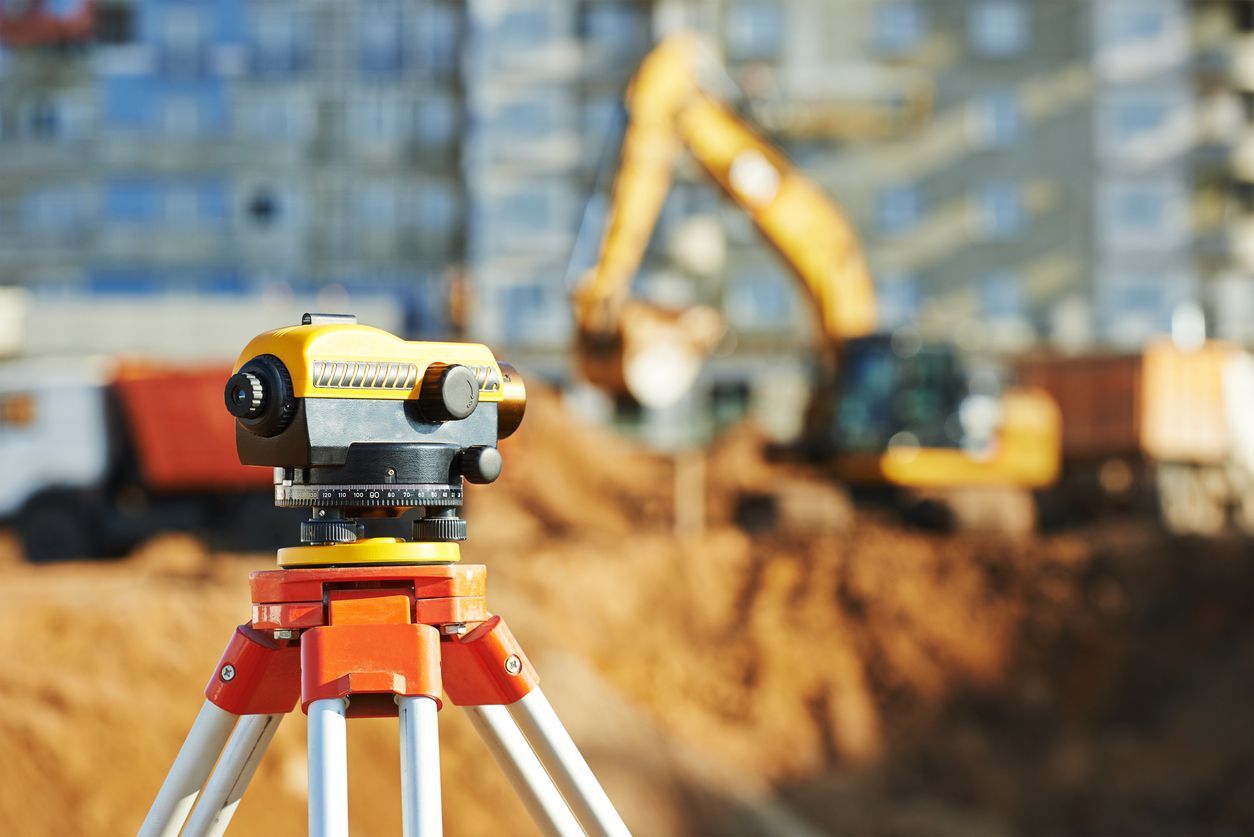
Modern geodetic engineers use:
- Total stations
- GNSS devices
- GPS technology
- Digital geodetic systems
This equipment allows for extremely high precision in measurement and marking.
How Much Does Geodetic Marking Cost?
The cost of geodetic services depends on several factors such as the size of the parcel, the complexity of the project, the location, and the scope of the work required.
The final cost can be influenced by:
- Land area
- Type of object
- Number of geodetic points
- Complexity of the terrain
- Additional geodetic elaborates
Although it represents a relatively small part of the total investment, geodetic marking has a significant impact on the successful implementation of a project.
Most Common Mistakes of Investors
Some investors try to start work without prior geodetic marking in order to save time or money.
This approach can lead to:
- Non-compliance with the project
- Problems with the construction permit
- Disputes with neighboring parcel owners
- Expensive subsequent corrections
Hiring a professional geodetic engineer is always a safer and more cost-effective solution in the long run.
Conclusion
Geodetic marking of a parcel is an indispensable step before starting any serious construction project. Precise determination of land boundaries and object positioning ensure compliance with the project, laws, and technical standards.
High-quality geodetic work reduces the risk of errors, accelerates the execution of construction works, and provides the investor with the security that the object will be built in the correct location and according to the planned dimensions.